
What’s really on
this Florida property?
Check the flood zone and every mapped risk for any South Florida address — storm surge, evacuation, permits, violations and county values for Miami-Dade, Broward and Palm Beach.
Free, no sign-up. Sourced from government records with citations, by searching you agree to our terms.
What do you want to know about a Florida property?
The data library
The layers that shape a property's value and potential.
See flood, storm surge, evacuation, zoning, ownership and land value, matched to the parcel and linked to the original public sources.
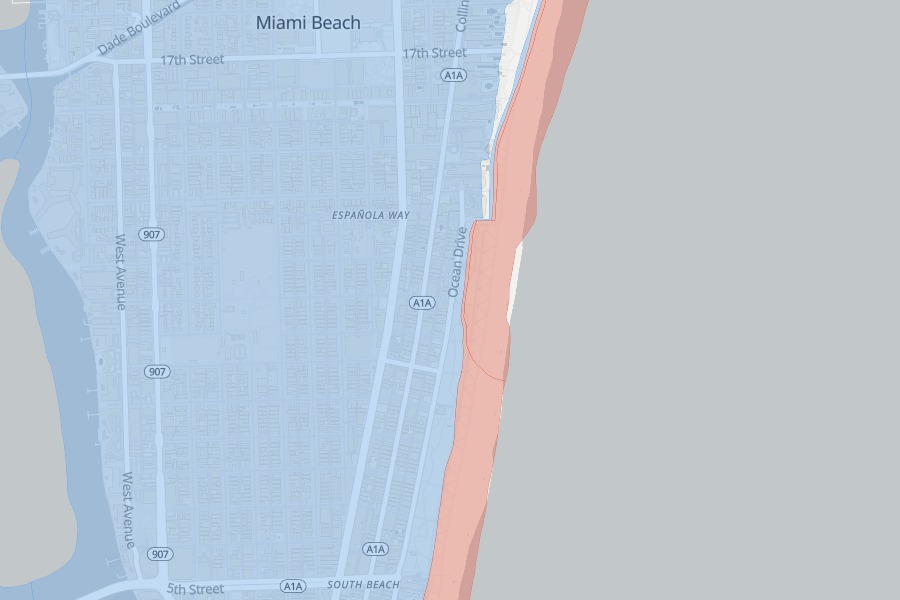 FEMA flood zones · 3 counties
County effective FIRM zones with base flood elevations, plus NFIP claim history — 107,826 paid claims mapped by zip.
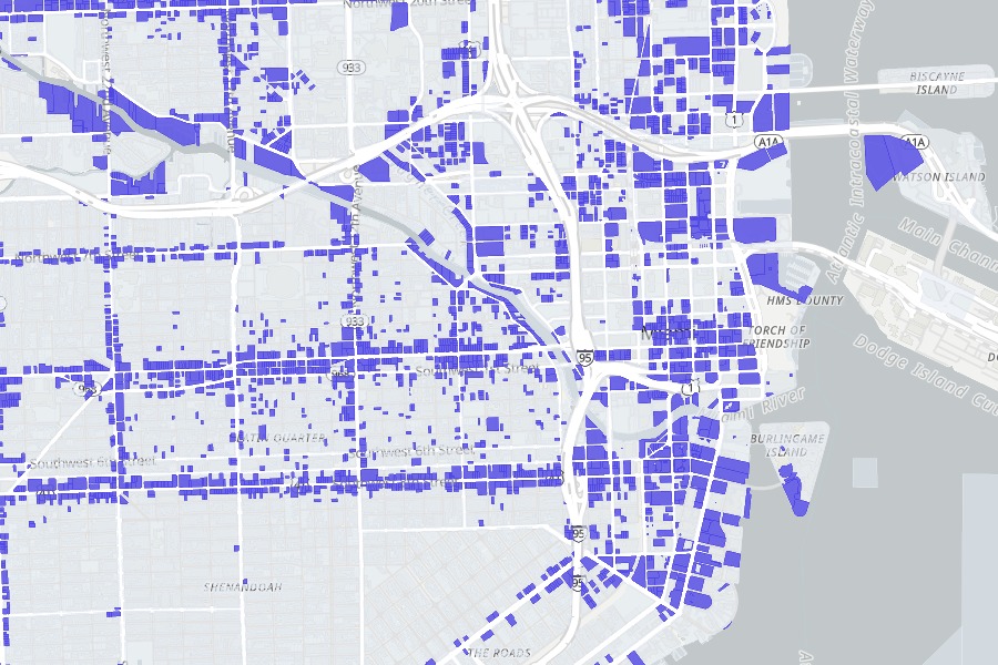 Zoning & land use
County zoning and land-use designation for the exact parcel, in all three counties — plus Live Local screening on commercial and mixed-use lots.
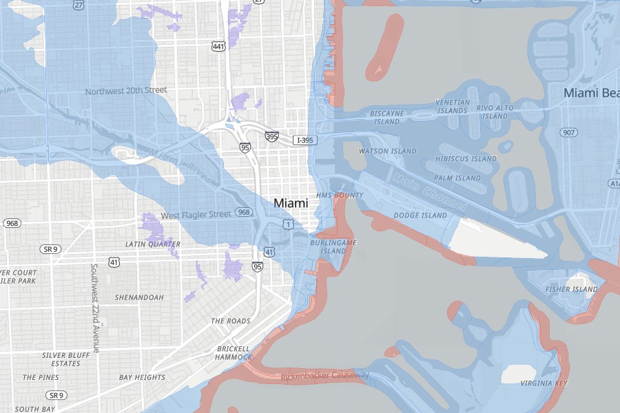
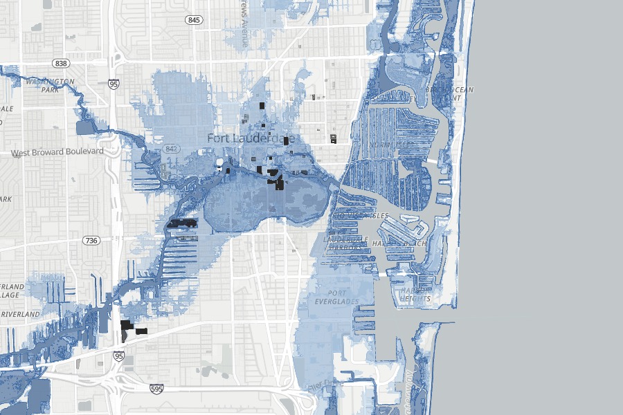 Storm surge · Cat 1–5
NOAA SLOSH bands showing the first hurricane category that puts ocean water on the ground.
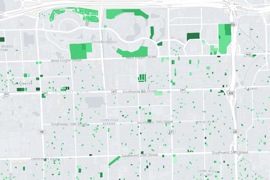 Rebuilt & new construction
Which lots on the block have been rebuilt or replaced, and when, straight off the assessment roll — the earliest sign a street is being re-rated.
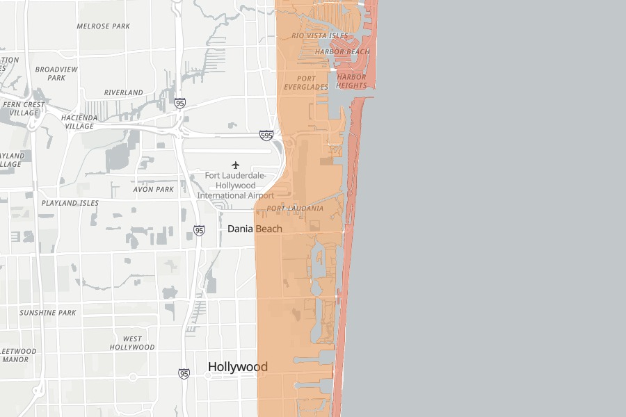 Evacuation zones
FDEM Know-Your-Zone evacuation letters A–F for the exact parcel, from the live state layer.
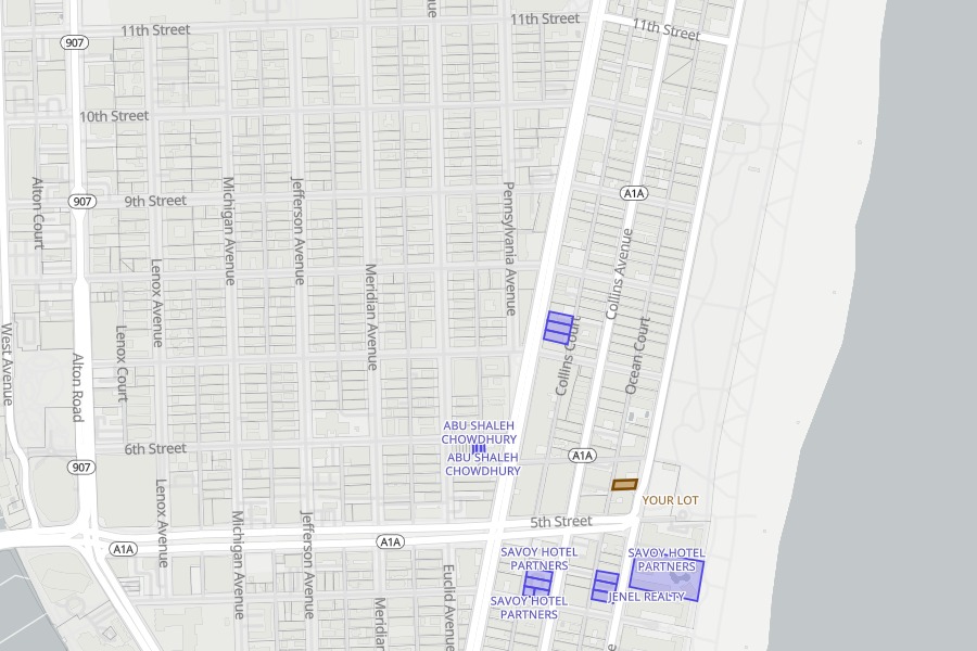 Who's buying the block
Companies quietly accumulating lots around yours, lit up by owner with what they hold — the reason a lot can be worth more than its comps.
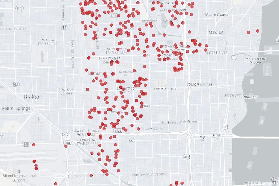 Miami-Dade records
Open violations, code cases and recorded liens on the folio, county permit history, and community development district assessments that ride the tax bill for decades. Miami-Dade only.
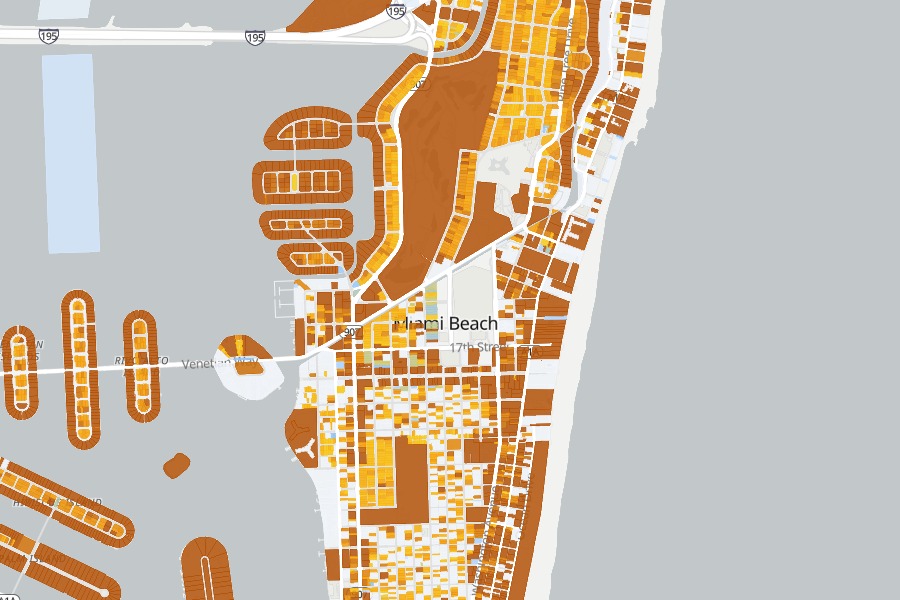 Land-value heat
Compare county land value with improvements to spot underbuilt parcels — where the value is the dirt.
Pro · in developmentUnderstand what the risk costs.
The flood zone decides whether insurance is mandatory and roughly what it costs. The base flood elevation decides what you can build and how far you can renovate. Storm surge and the evacuation letter decide what a hurricane actually means at this address. We bring them together before you make an offer or price a listing.
Every figure links to the public source it came from — the county FIRM panel, the state surge model, the assessment roll. We assemble in about eight seconds the picture that would otherwise take several county portals and a phone call to an insurance agent.
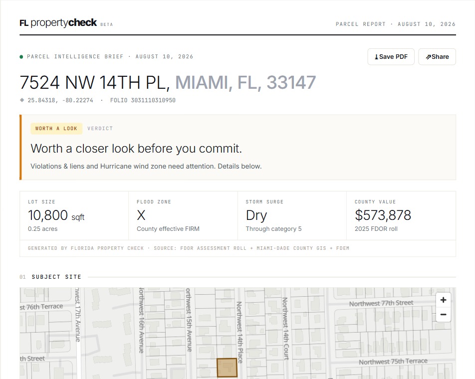
Know whether the value is in the house or the land.
County value is not market price and usually sits below it. The useful signal is the split: when the land carries the value and the building carries almost none, you are looking at a teardown priced as a house — and the tax bill resets on sale either way.
Tap the lots next door to compare sizes, county values and combined area. Lots are often worth more together than apart, but that premium depends on who wants the site and what it can carry — the map shows you both.
Open the parcel map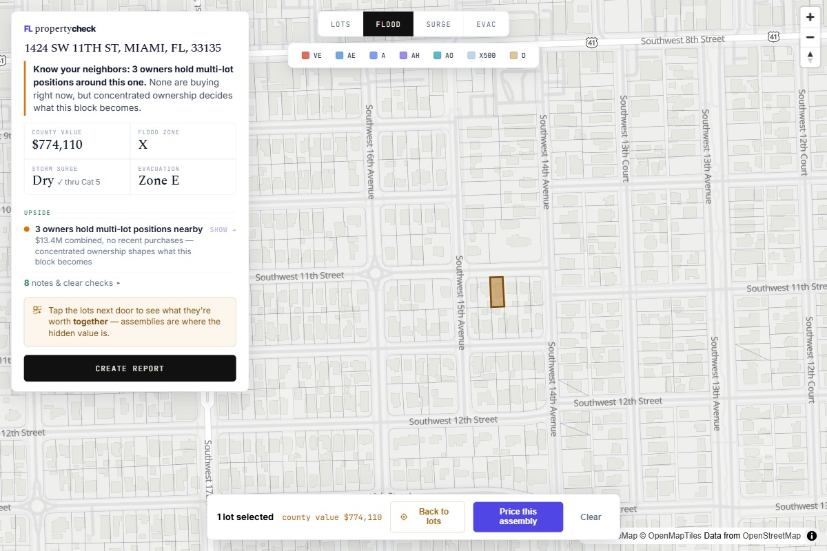
Someone is already buying your block.
Companies accumulate lots quietly, one folio at a time, long before anything visible happens on the street. We read the ownership across every parcel around yours and light up the holdings — by owner, with what they are sitting on.
If someone is assembling near you, your lot has a second price — the one a buyer who needs it pays, not the one the comps say. If you are the one assembling, the map prices the site as you build it.
Open the risk map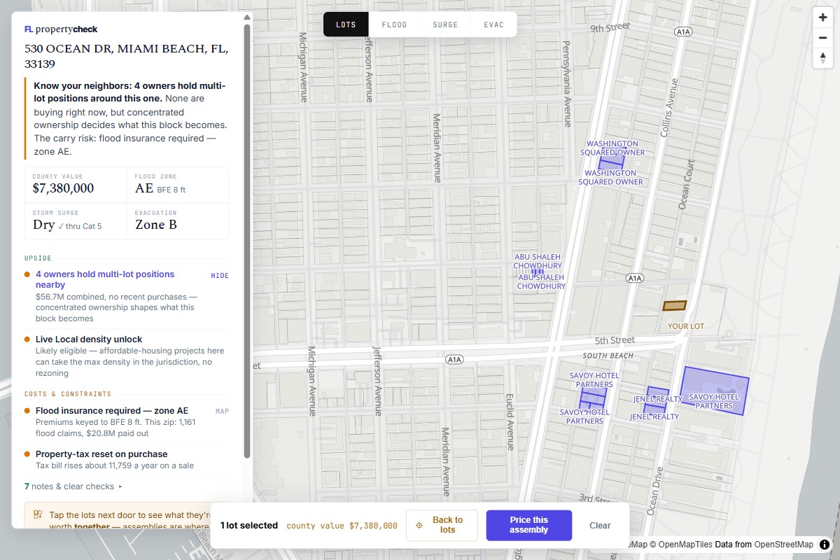
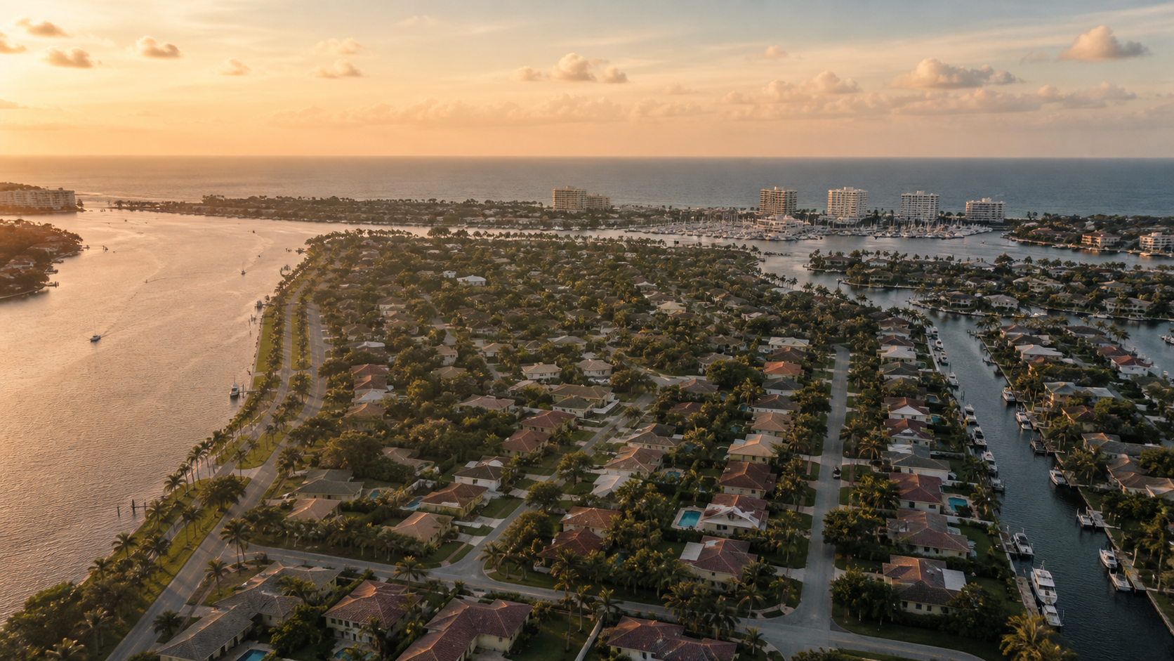
See the property, the rules and the risks in seconds.
The research desk
We publish what the data says.
 −25,000 declared construction value, tri-county
Aug 2026 data report
Where Miami-Dade is building: two years of county permits, mapped
139,000 permits tell you which blocks are being re-rated by their own residents before the market notices. A first look at the data.
Read the report →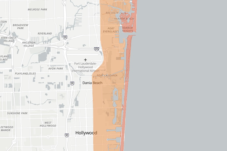 applications −48% vs 2024
Live index · recomputed 6-hourly
The South Florida Permit Index
One number for construction momentum across Miami-Dade, Broward and Palm Beach, recomputed from county permit data.
See the index →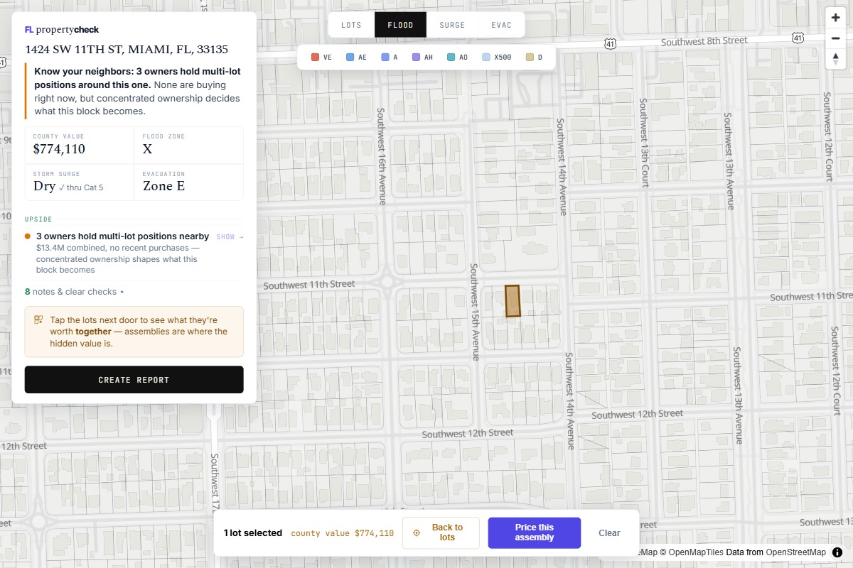 two lines of code on your site
For realtors & brokerages
Put the parcel check on your own site
Add a property check to your listing pages: clients view available zoning, assessment and parcel information without leaving your site. Branded for your brokerage.
Get the embed →